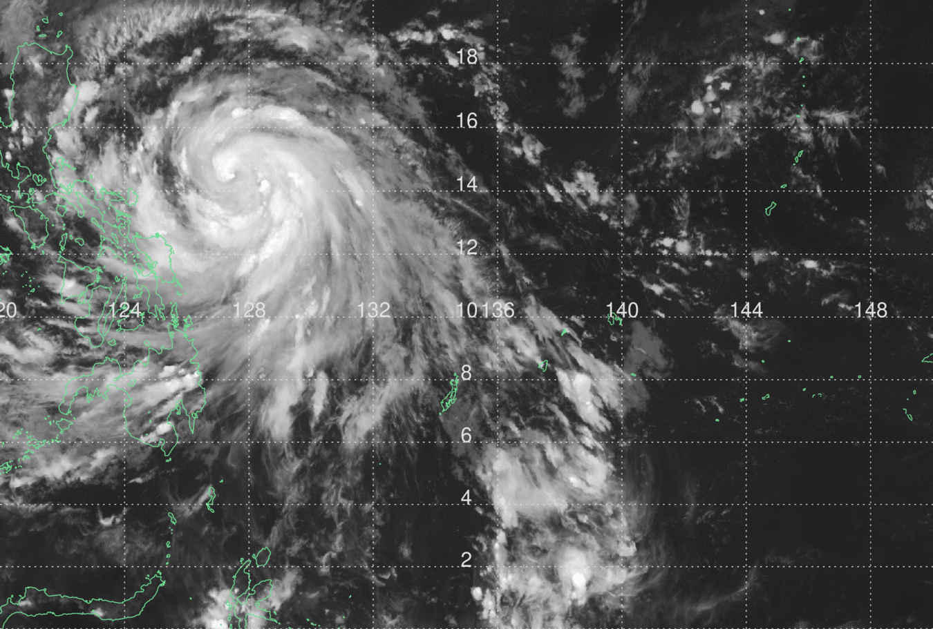
WHAT ARE THE Sat-Images SPECIAL FEATURES?
Up to 5 minutes update rates
Complements Cb-global and Rad-TRAM information
HOW IS THE Sat-Images INFORMATION AVAILABLE?
Self-explanatory graphics on geographical maps
data which are easy to implement in your displays and systems
